

A 19-year-old hiker was rescued from severe weather conditions in Northern California’s remote Bald Hills area after activating an SOS signal on his GPS tracking device, an action that authorities later described as decisive in saving his life. The incident unfolded during a period of heavy storms that swept across the region, creating dangerous conditions for anyone traveling in the backcountry.
Alone, exposed to the elements, and eventually showing signs of hypothermia, the teenager was located approximately seven hours after his emergency signal was received, highlighting both the risks of winter hiking and the critical role of satellite-based emergency technology in modern search and rescue operations. The rescue took place in Humboldt County, an area known for its rugged terrain, dense forests, and rapidly changing weather.
While Northern California is often associated with mild coastal conditions, the inland and elevated regions can become treacherous during winter storms. In this case, wind, rain, low temperatures, and limited visibility combined to create an environment where survival without prompt assistance would have been increasingly unlikely. Officials emphasized that the hiker’s preparedness, particularly his possession of a Garmin GPS device capable of sending an SOS signal via satellite, played a central role in enabling rescuers to locate him in time.
The Emergency Signal and Rapid Mobilization of Rescue Teams
According to the Humboldt County Sheriff’s Office, deputies received a notification at approximately 2:30 a.m. local time on Saturday, Jan. 3, from the California Office of Emergency Services. The alert originated from a Garmin SOS activation registered to a male hiker whose last known location was in the Bald Hills area near the Redwood Creek Trail. This region, characterized by steep ridges and thick vegetation, is challenging to navigate even under favorable conditions, and significantly more so during a storm.
When a Garmin SOS feature is activated, the device transmits an emergency alert along with precise GPS coordinates via satellite to the Garmin International Emergency Response Coordination Center. From there, the information is relayed to appropriate local and state emergency agencies. This process bypasses the need for cellular coverage, which is often nonexistent in remote wilderness areas. In this instance, the system worked exactly as designed, delivering the hiker’s location to authorities despite the isolation of his surroundings.
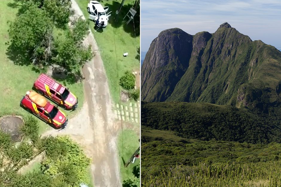
Sheriff’s officials noted that the activation of the SOS device was a critical factor in the rescue. Without it, search efforts would have been far more complex, time-consuming, and uncertain, particularly given the weather conditions and the vastness of the surrounding terrain. Once the alert was received, a coordinated response was launched. Deputies deployed search teams that included volunteer search and rescue personnel, K-9 units trained in wilderness tracking, and drone operators capable of scanning difficult terrain from above.
Read : Exploring the Enigmatic Beauty of Matobo National Park
The use of drones proved especially valuable in the stormy conditions, allowing rescuers to cover large areas more efficiently and identify potential signs of the hiker’s location. Despite the technological advantages, the search remained physically demanding and logistically complex. Heavy rain and wind limited visibility, while uneven ground and forested slopes slowed progress on foot. Rescuers worked through the night and into the morning, aware that prolonged exposure to cold and wet conditions posed a serious risk to the missing hiker.
Discovery After Seven Hours and Signs of Hypothermia
At approximately 9:38 a.m., roughly seven hours after the initial SOS notification, search teams located the hiker. Authorities confirmed that when he was found, he was alive but showing signs consistent with hypothermia, a condition that occurs when the body loses heat faster than it can produce it, leading to a dangerously low core temperature. Hypothermia can impair judgment, coordination, and consciousness, making self-rescue increasingly difficult as time passes.
Read : Female Hiker with Leg Injury Airlifted from Camelback Mountain Echo Canyon Trail
The fact that the hiker survived until rescuers reached him underscores both his resilience and the importance of timely intervention. In cold, wet, and windy environments, hypothermia can develop rapidly, especially if an individual lacks adequate shelter, dry clothing, or sufficient calories. Even young and otherwise healthy individuals are vulnerable under such conditions. Emergency responders stabilized the hiker at the scene before transporting him to safety, where medical personnel took over his care.
After being brought out of the wilderness, the teenager was taken to a local hospital for treatment. Officials have not released additional details about his medical condition or the circumstances that led to his distress, and the sheriff’s department did not immediately respond to requests for further comment. However, authorities indicated that the outcome could have been far worse had the SOS not been activated when it was.
The rescue also drew attention to the unpredictability of weather in Northern California’s backcountry. Storm systems can intensify quickly, and trails that are manageable during fair weather can become hazardous when rain, wind, and cold temperatures combine. Even experienced hikers can find themselves in trouble if conditions deteriorate faster than expected. In this case, the heavy storm significantly complicated both the hiker’s situation and the subsequent rescue effort.
Lessons in Preparedness, Technology, and Teamwork
Officials used the incident to emphasize the value of preparedness and modern safety equipment for anyone venturing into remote areas. While traditional navigation tools and outdoor skills remain essential, satellite-based communication devices have become increasingly important, particularly for solo hikers or those traveling in regions without reliable cell service. Garmin SOS devices and similar tools provide a direct lifeline to emergency responders, transmitting both distress signals and precise location data when it matters most.

The sheriff’s department highlighted that the hiker’s possession and activation of the GPS device were instrumental in the successful rescue. This acknowledgment reflects a broader trend in wilderness safety, where technology complements but does not replace careful planning, situational awareness, and respect for environmental conditions. Authorities continue to advise hikers to check weather forecasts, inform others of their plans, carry adequate clothing and supplies, and understand their own limits before setting out.
Equally important was the role played by the search and rescue teams themselves. Following the rescue, officials expressed sincere gratitude to everyone involved, with particular recognition given to the volunteer search and rescue personnel. These individuals often train extensively and respond at all hours, frequently in dangerous conditions, to assist strangers in distress. Their coordination with deputies, K-9 units, and drone operators demonstrated a high level of professionalism and dedication.
The successful outcome also illustrated how multiple agencies and resources can work together effectively when clear information is available. From the initial alert sent through the Garmin International Emergency Response Coordination Center to the on-the-ground efforts of local responders, each link in the chain contributed to locating the hiker and ensuring he received timely medical care. Such coordination is especially critical during storms, when delays or miscommunication can have life-threatening consequences.
As outdoor recreation continues to grow in popularity, incidents like this serve as reminders of both the rewards and risks associated with wilderness travel. The Bald Hills rescue stands as an example of how preparation, technology, and teamwork can converge to save a life, even in the face of severe weather and challenging terrain.